News
Coastal protection
Flood prevention
Nature based solutions
+2
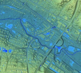
Public Data for Improved Flood Protection
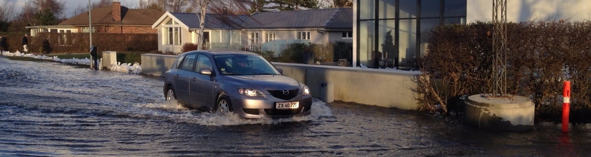

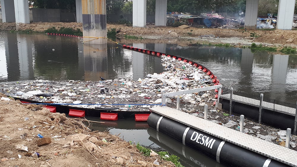
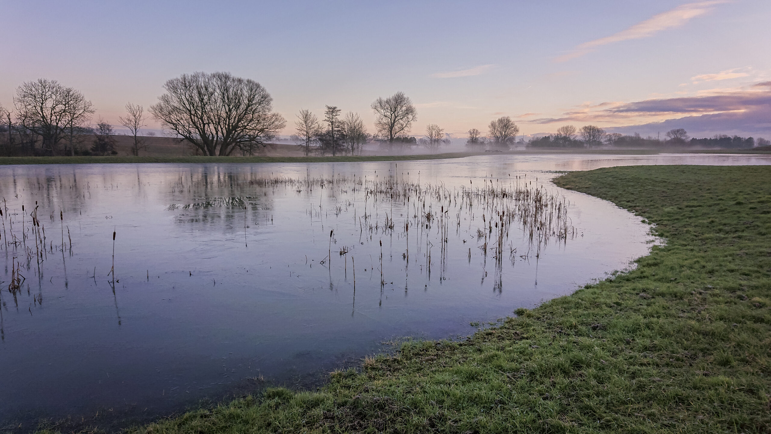
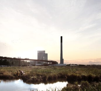
Accurate data becomes more and more in efforts to find effective and sustainable solutions for major social problems such as climate change. Climate change causes more frequent storms, cloudbursts, and long-lasting rain. As a result, floods occur and serious damage is done to property and infrastructure. Recently, the Danish storm ‘Urd’ and the storm surge in January gave evidence to the importance of providing society with relevant data in order to prevent and prepare for the consequences of climate change.
The new models improve the ability to identify where there is a risk of flooding. Authorities, companies, and citizens will have a stronger basis for deciding how to minimise the risk of flood damage in case of a storm or extreme rainfall.
- Related News: Public Available Geodata Furthers Innovation and Economic Growth
- I am pleased that the improved data gives us the opportunity to predict the movement of water and, in turn, future occurrences of floods. With the help of free public data, we can help address a major social problem - public authorities can administer climate adaptation more effectively and private citizens can protect their property better, says the Minister of Energy, Utilities and Climate, Lars Chr. Lilleholt.
Many will benefit from the hydrological terrain models
The Danish Emergency Management Agency uses the hydrological terrain models in their effort to prevent floods during extreme weather situations. Other authorities use the models for climate adaptation when planning construction projects or in risk management when securing e.g. buildings, infrastructure, and cultural valuables against flooding. In addition, the tool can be used by citizens who want to prepare for the next extreme rainfall or by companies who want to help homeowners with climate protection.
- Related News: 12 Expamles of Climate-Resilient City Solutions
- We have to get used to more extreme weather in the future which is why, it is more important than ever that we work hard to prepare for it. In the future, we will continue to focus on creating the best possible data base for climate adaptation and water management and the new hydrological terrain models are an important step in the right direction, says Lars Chr. Lilleholt.
Facts:
The new hydrological terrain models are based on significant improvements made to basic data: They are based on the much more detailed and accurate terrain model, “Denmark’s Terrain Model”, from 2015, new information about where in the model adjustment or erasures should be made in order for the water to flow more freely. It also includes a new national dataset for streams and lakes that was updated during 2016. Access the screening tool which visualises elevated sea water levels and increased rainfall after cloudburst at the EnvironemntalGis.