Want to visit I•GIS?
Add the company to your visit request and let us know that you are interested in visiting.
Solution Provider
Company
Organisation type: Company
Geothermal energy
Groundwater management
Landfill and soil remediation
Smart cities
Smart energy systems
+5
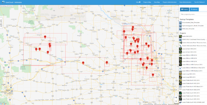
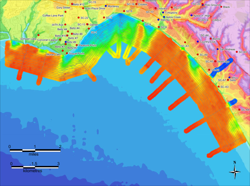
I•GIS is a specialized geoscience software and service company offering a full geoscience software suite, and consulting services to an international customer base. The company develops geoscience software, of which the most well known is the GeoScene3D software package. This is a full 3D geological modelling software package, used primarily within the fields of groundwater mapping, geotechnical modelling, infrastructure projects and contamination mapping. The users of GeoScene3D range from PhD level experts at geological surveys and research institutions, over specialized users in private consulting firms and water supplies to public administrative users in public administration and municipalities.
The team at I•GIS consists of a mix of highly skilled employees from a variety of educations. From 3D computer scientists, over mathematical scientists to geophysicists, geologists and geoinformation experts. The organization have a long history of managing complex software projects within the geosciences, and is able to combine the comprehension of the theoretical aspects with pragmatic, real world functioning software.
https://youtu.be/DeB0xUyzy-k
Add the company to your visit request and let us know that you are interested in visiting.