Solution provider

Ramboll is a leading international architecture, engineering, and consultancy company, owned by the Ramboll Foundation.
case
Biodiversity
Ramboll is a leading international architecture, engineering, and consultancy company, owned by the Ramboll Foundation.
Add the case to your visit request and let us know that you are interested in visiting Denmark
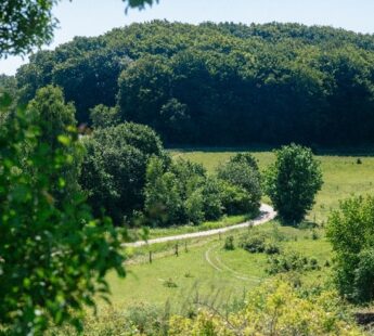
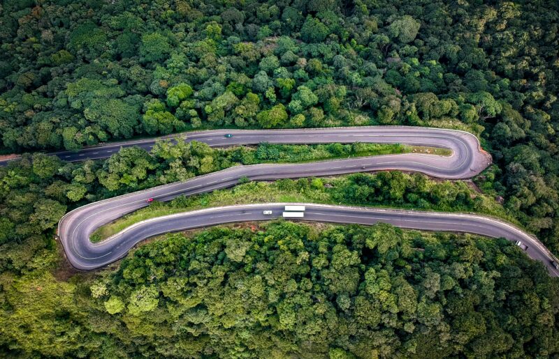
National Highways’ (formally Highways England) commitment to environmental stewardship involves transforming England’s 7,000km Strategic Road Network into an intelligently managed asset, that can effectively protect and strengthen the natural environment.
Through the Intelligent Environmental Estate (IEE) project, Ramboll employed satellite imagery and machine learning to map land cover and habitats, aiming to support their commitment to achieve biodiversity net gain. This initiative not only helps National Highways meet regulatory standards but also pioneers a sustainable approach to infrastructure development, setting a precedent for data-driven environmental management across significant land holdings.
National Highways has committed to deliver biodiversity net gain across 30,000 hectares of verges and land that runs adjacent to their motorways and trunk roads by 2040. They also must now adhere to required government regulations where all nationally significant infrastructure projects must deliver 10% biodiversity net gain. To successfully meet these commitments and regulations, it is critical to understand and track any changes in biodiversity across their land holdings. This is where Ramboll comes in to help the Intelligent Environmental Estate (IEE) project.
Ramboll created a prototype system that produces network-wide digital maps of landcover and habitats using satellite imagery and machine learning. The data produced enables monitoring of biodiversity across the Strategic Road Network in an accurate, defensible, repeatable, and cost-effective manner. To produce network-wide habitat maps, Galago created a cloud-optimized data processing and modelling pipeline using multitemporal satellite images and collated training data to produce well-performing machine learning models for habitat prediction.
The success of the project is in its repeatability for annual monitoring purposes. National Highways are now able establish any change-over-time of landcover types across the entire road network, identify locations of biodiversity improvement or decline, and strategically allocate resources to ensure biodiversity net gain can be delivered in the short, medium, and long term.
Ramboll’s prototype was able to map the 14 most common landcover types across the Strategic Road Network, this represents a significant leap forward in providing National Highways with the means to periodically track their biodiversity performance over time. By establishing this biodiversity baseline, National Highways can begin to understand their current performance and then plan to build a strategy that will look to protect and enhance biodiversity across their estate. This also provides them with the means to transparently report their year-on-year performance to Government and their stakeholders in an efficient, quantifiable manner that could not be repeated through traditional survey techniques.
By having this information available, National Highways is also able to identify those hotspots of high biodiversity value, allowing them to look to for opportunities to enhance, expand and reconnect those valuable areas. This tool also provides the means to assess the impacts of development projects, where multiple routes have been identified for a scheme. IEE is able to establish what impact each route will have on biodiversity at an early stage, informing the route selection process long before boots would conventionally be on the ground.
This case is a part of the publication “From biodiversity commitments to concrete action”.
Download the publication to discover recommendations from the Danish Biodiversity Partnership and specific examples of biodiversity action.
Discover the publication