Solution provider

Ramboll is a leading international architecture, engineering, and consultancy company, owned by the Ramboll Foundation.
Case
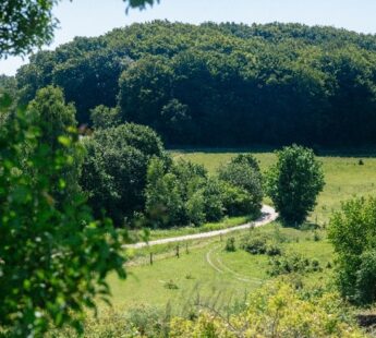
Groundwater management
Water supply
Ramboll is a leading international architecture, engineering, and consultancy company, owned by the Ramboll Foundation.
Add the case to your visit request and let us know that you are interested in visiting Denmark
California is facing a water crisis. Not only are its reservoirs already at critically low levels due to unrelenting drought, residents and businesses across the state are also using more water now than they have in seven years. In total, California is set to lose 10% of its total water supply in the next 20 years.
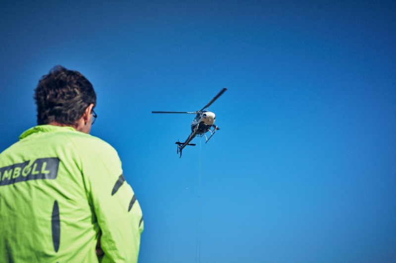
The California Department of Water Resources has selected a team of consultants led by Ramboll to conduct airborne electromagnetic surveys in California’s high- and medium-priority groundwater basins.
Read more about the caseGroundwater is a critical source of water for both California farms and communities, so the State of California enacted the Sustainable Groundwater Management Act which requires local agencies in high- and medium-priority groundwater basins to develop and implement groundwater sustainability plans.
To assist local agencies as they develop these plans, the California Department of Water Resources (DWR) is conducting airborne electromagnetic (AEM) surveys in California’s high- and medium-priority groundwater basins.
During an AEM survey, a helicopter tows electronic equipment that transmits radio waves to the ground and measures the response that returns. The process has been compared to taking an MRI of the ground’s subsurface, and the data collected is used to create continuous images that are interpreted for underground geology to a depth of about 1,000 feet.
The project is generating coarse-grid subsurface maps that provide framework information about large-scale aquifer structure. The AEM data supports the development or refinement of hydrogeologic conceptual models as well as helps to identify possible areas for recharging groundwater.