News
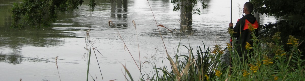
Flood prevention
Hymer creates overview of water data

Municipalities and water suppliers collect huge amounts of data about water usage, and they also spend a lot of time systemising and analysing the data collected. But in Vejle Hymer gives a hand.
Hymer is used in several countries e.g. Lithuania as a supervisory system and has also gained ground in Denmark. Latest, it has successfully been used to create an overview of rivers and relevant data in the Danish city Vejle.
Across all the municipalities in Denmark, the water data collected provides an overview of environmental and operational factors, flood forecasting and much more. The data is collected automatically from streams, drinking water wells and lakes, and it is a huge task to assess, monitor, and analyse relevant data. Hymer is a system that can ease this task.
Monitoring water levels
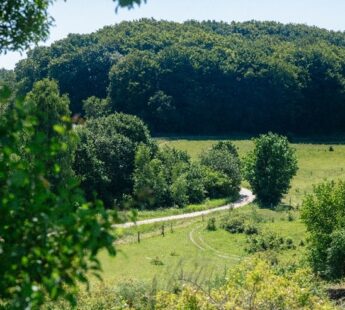
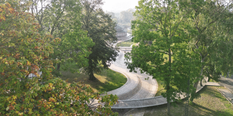
In Denmark, Vejle municipality has installed an on-line water monitoring system, which tracks the water levels in the river Grejs - the major contributor when it comes to flooding. The system opens in the internet browsers when employees log on to their computers. This way they can keep track of whether the water level upstream is increasing or decreasing minute by minute, in the river Grejs and its associated tributaries.
Quick and easy monitoring of data
Ole Smith is Section Leader in Orbicon and he can see that clients are very pleased with the system:
"We have introduced the system in many places in Denmark, and just as in Vejle, clients are happy to be able to monitor and analyse their data quickly and easily. Basically Hymer gathers data from the point of origin at connected stations, but the system can also alert attention when a parameter falls outside its given limits."
A basis for the intelligent management of water in rivers
In Vejle Municipality Ulla Pia Geertsen and Paul Landsfeldt work with the system. As they are about to take possession of the system Ulla explains:
”Hymer gives a good overview of the river Grejs, the Omløb river and the Mølle river, and also data from the Danish Nature Agency’s monitoring system in the Vejle river. There is a plan for the system to be extended to receive high water level forecasts from The Danish Meteorological Institute (DMI) and eventually we will run the system together with DMI's weather radar. It is the intention that in the future the system will be the basis for the intelligent management of water in rivers, as part of preparedness in reducing the risk of flooding."
You should consider reading


News
Climate change adaptation
+2