Solution provider
Case
Groundwater management
Water management
Water resource management
+1
Add the case to your visit request and let us know that you are interested in visiting Denmark
The ability to reveal the availability and movement of water is a huge asset for countries and regions wanting to manage resources and respond to natural disasters.
The SkyTEM method, developed initially to identify and characterize aquifers, is widely accepted globally as the best technique for mapping water resources. Distinct from conventional airborne TEM systems designed as single purpose sensors, that push through the top few hundred metres to detect “bumps” or strong mineral contrasts, SkyTEM is capable of mapping subtle changes between sand, clay, silt, gravel, and tills that define the location and potential vulnerability of aquifers. The Danish Ministry of Environment has to this date mapped over one third of the country’s aquifers with SkyTEM. Hydrogeology divisions of governments worldwide routinely select SkyTEM technology over others to map their water resources.
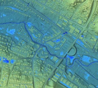
SkyTEM technology offers digital data that is used for creating detailed 3D geological representations of the subsurface down to 500 metres. These representations can be used for a variety of different applications and is a vital factor for setting up reliable and usable hydrological models in respect to sustainable Water management. SkyTEM Surveys has surveyed around 35% of Denmark’s total area for the purpose of groundwater protection and management.
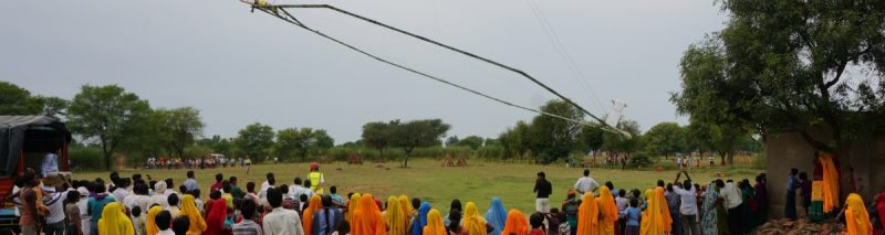
In a collaboration with Aarhus University and the National Geophysical Research Institute, SkyTEM has surveyed several areas in India in a pilot project to map the content and volume of groundwater. Professor M. K. Sen calls SkyTEM the best system for groundwater mapping in the world and states it is of great benefit to the people of India.