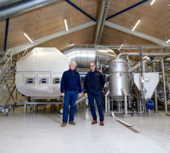
Solution provider

Case
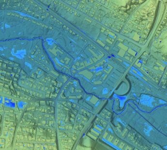
Groundwater management
Water management
Water resource management
Add the case to your visit request and let us know that you are interested in visiting Denmark
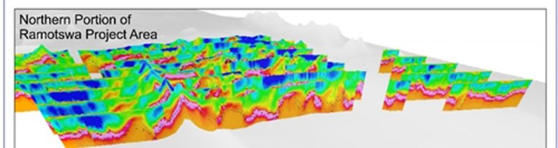
The International Water Management Institute (IWMI) has published an article about their groundwater mapping project over the Ramotswa Aquifer on the border between South Africa and Botswana.
“This is tremendously useful for us,” said IWMI’s Karen Villholth who leads the initiative. “By digitally mapping the subsurface in this way we can work out where the important aquifers are located, how large and deep they are, how they are delimited by other geologic formations. From this we can determine where it would make sense to further explore the aquifer through traditional means to identify good sites for drilling and managed aquifer recharge.”
The aim of the project is to generate new information about groundwater to facilitate its sustainable management and support water security and resilience for the two countries.
Read the entire article here.
Photo: Preliminary inversions created by XRI, courtesy of the International Water Management Institute (IWMI).