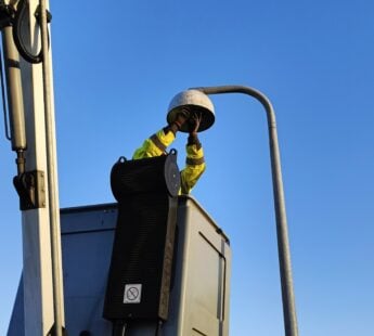
Solution provider

Product Of Service
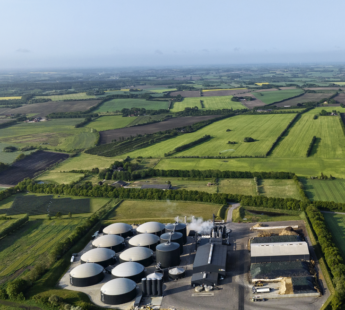
Water management
Water resource management
Add the case to your visit request and let us know that you are interested in visiting Denmark
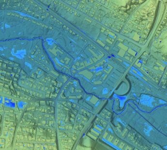
The SkyTEM method, specifically developed to map buried aquifers, is widely accepted globally as the principal technique for mapping water resources.
SkyTEM is an innovative and technologically advanced airborne geophysical system capable of mapping the top 500 metres of the Earth in fine detail and in 3 dimensions. SkyTEM was conceived and engineered in Denmark, a country with a reputation for environmental care and R&D. SkyTEM helps geological organizations and government water agencies on seven continents unearth a wealth of information about their aquifers and aids in their understanding of how geology and mankind can affect, and be affected by, groundwater resources.
The SkyTEM method has mapped water resources on a Galapagos Island, important agricultural areas in the USA, Australia, Africa and India, islands in the Caribbean and Indian Ocean and even Antarctica. Recognized for its ability to quickly and accurately map geology in fine detail, the SkyTEM method is also employed globally for mineral and oil & gas exploration as well as environmental and engineering investigations.