Solution provider

Case
Groundwater management
Water management
Water resource management
Add the case to your visit request and let us know that you are interested in visiting Denmark
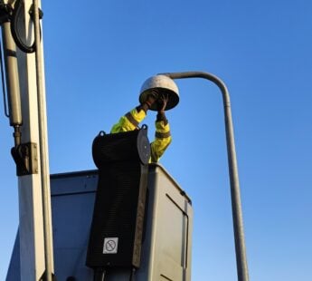
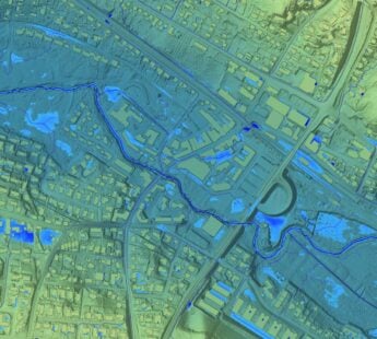
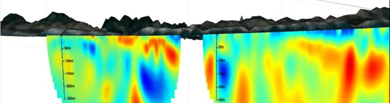
Stanford Earth’s Rosemary Knight recently spearheaded a project to map underground freshwater resources and forecast the intrusion of saltwater into aquifers beneath the California coastal town of Marina using SkyTEM data. Stanford Earth’s Rosemary Knight recently spearheaded a project to map underground freshwater resources and forecast the intrusion of saltwater into aquifers beneath the California coastal town of Marina. The project, a collaboration between Stanford, the Marina Coastal Water District, and Aqua Geo Frameworks, involved a low-flying helicopter towing a giant, instrument-laden fiberglass hoop that generated ground-probing magnetic fields that penetrated 1,000 feet beneath the surface. The SkyTEM system.
The video, "Ensuring freshwater sustainability: Mapping groundwater from the air", produced by Stanford Earth outlines the results, and can be seen here.