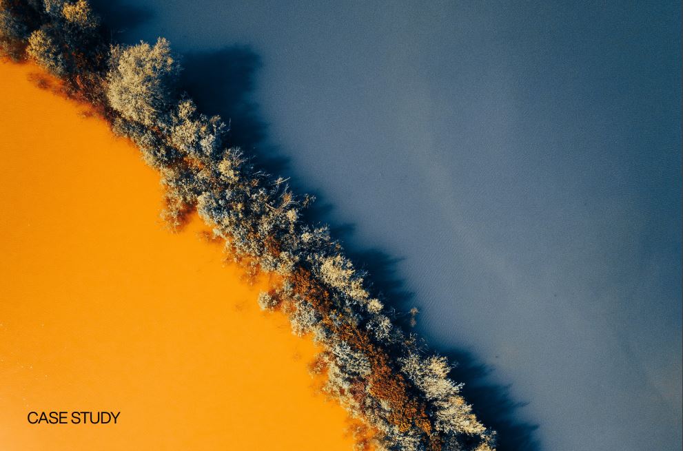
News
Landfill and soil remediation
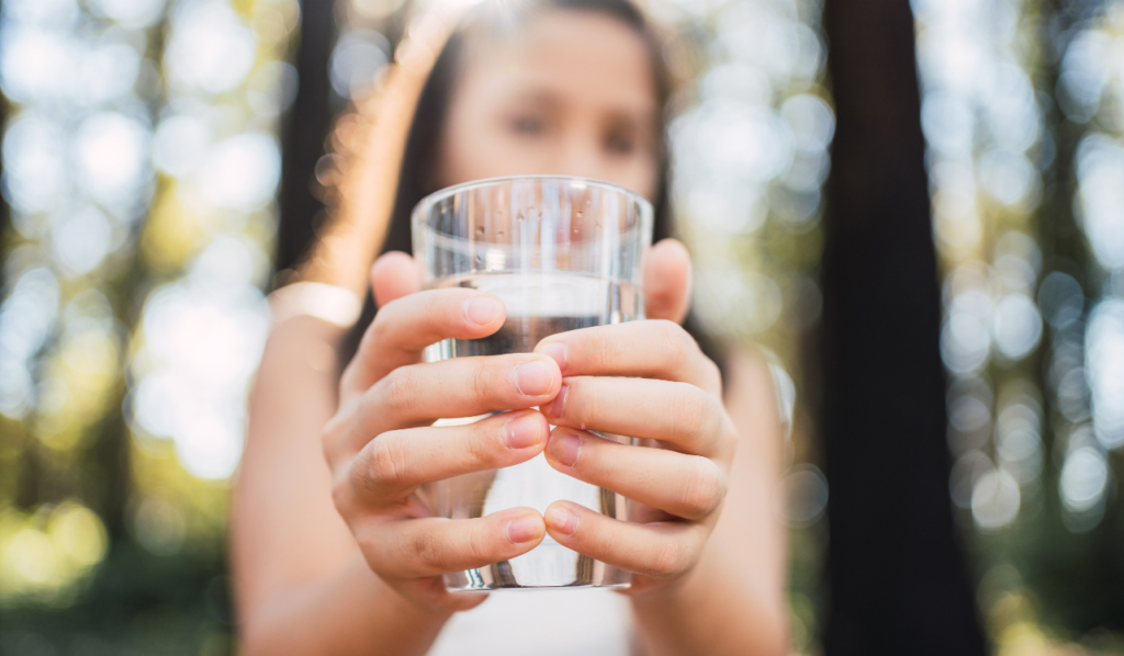
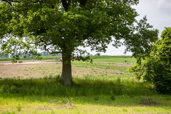
Water supply
New Method for Predicting Movement in Groundwater
In 2012, Innovation Fund Denmark invested DKK 1.5 million out of a total budget of DKK 28 million in effective methods to advance models that predict the level of groundwater in Denmark’s deposits and the locations where drilling for new groundwater is sustainable.
The investment stems from the mapping of approximately 40 percent of the area in places where there is a particular interest in drinking water. Conducted by the Danish state, the mapping ended in 2015. From then on, the state would only have to maintain their current knowledge of the groundwater.
- Related news: 15 Years of Groundwater Mapping Complete
Research results attract international attention
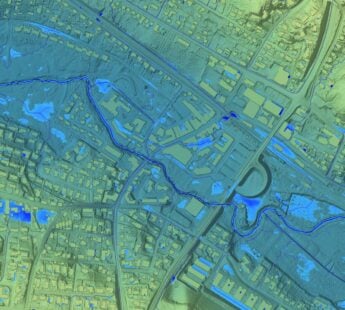
In the recently finished project, researchers have developed new methods for automatic translations of results from electromagnetic waves send into the earth in order to map the geological layers for models to find out how water moves underground. Such new methods make mapping more efficient, transparent, and cheaper than before.
The goal was to develop a cheaper method that might only give us 90 percent of the result but at 10 percent of the original cost. That goal has actually been met, says the professor Esben Auken who further explains that the method automatically constructs hydrogeological models which for instance contribute to the basis for decisions – e.g. in relation to city planning, impact on creeks, protection of groundwater, and leaching of nitrate.
- Related news: Less Expensive and More Sustainable Purification of Groundwater
Automatic data-driven integration of large airborne geological data is definitely of great international interest. It is new and in demand and the method is a breakthrough in the international scene, estimates Lector Peter Bauer-Gottwein at Department of Environmental Engineering at Technical University of Denmark (DTU).
Peter Bauer-Gottwein explains that one of the reasons why the airborne data and the method is so attractive is because of its ability to cover very large areas – 50 times 50 kilometres or perhaps even bigger areas than that.
-At such a large scale, this method is the only appropriate one to use, he says.
- Download our white paper: Greater Water Security with Groundwater

- The aim of the white paper is to share some of Denmark’s technologies, tools and methods for groundwater mapping and hydrogeological modelling
Export of Danish expertise
Clean drinking water is subject for concern in many countries:
In many places, [the management of] drinking water fosters a great number of challenges. We work with both India, USA and Australia but many other countries also experience challenges, says Esben Auken who is the project leader for the HydroGeophysics Group (HGG group) at Aarhus University.
The great demand for Danish knowledge in groundwater has meant that a large part of the work done by the research group is international. The Danish expertise within this field is a example of an area where Denmark knowledge has become an export.
The money goes to new research projects – which is a positive development. We have to keep in mind that we gain a great deal of knowledge through our international collaborations as well. We learn a great deal and our new-gained knowledge inspires new research, says Esben Auken.
Method will most likely be able to map ground pollution
While Danish knowledge of groundwater is in international demand, new forms of collaboration are being built between researchers at Aarhus University and separate Danish regions as part of the new geophysical methods could be applicable for mapping ground pollution as well.
In mapping groundwater, we scan large and deep areas. However, with ground pollution we work with each cadastre and scan small layers of sand that might transport pollution just under the ground’s surface, says Esben Auken.
- Related news: White Paper: A Common Ground for Clean Soil
He is currently collaborating with the Capital Region of Denmark and the Central Denmark Region to find out if the methods are applicable – which he believes that findings evidently suggest.
Denmark does not currently have a complete overview of the areas where the ground is polluting creeks, lakes, and the marine environment.
Facts
- In order to protect groundwater, knowledge about the soil layers which the water moves through, the groundwater’s quality, and the sizes of the aquifers and the soil layers in the subsoil where the groundwater is obtained are a necessity.
- Danish researchers have developed a new cost-effective method used for the mapping of more than 40 percent of Denmark’s groundwater.
- A helicopter sends electromagnetic energy into the soil, maps the electric resistance in the earth and translates it into types of soil.
- Complete budget for the project: DKK 28 million
- Investment from Innovation Fund Denmark: DKK 15,5 million.
- Several research projects closely linked with Aarhus University under the name of the HydroGeophysics Group (HGG group) has the purpose of developing technology and knowledge that makes it easy to map groundwater resources.
- Researchers behind HGG represent the world’s biggest research group on the subject.
- The investment by Innovation Fund Denmark (named “HyGEM)” is a research project under the HGG group that has attracted a great deal of international attention.
- Source: Innovation Fund Denmark